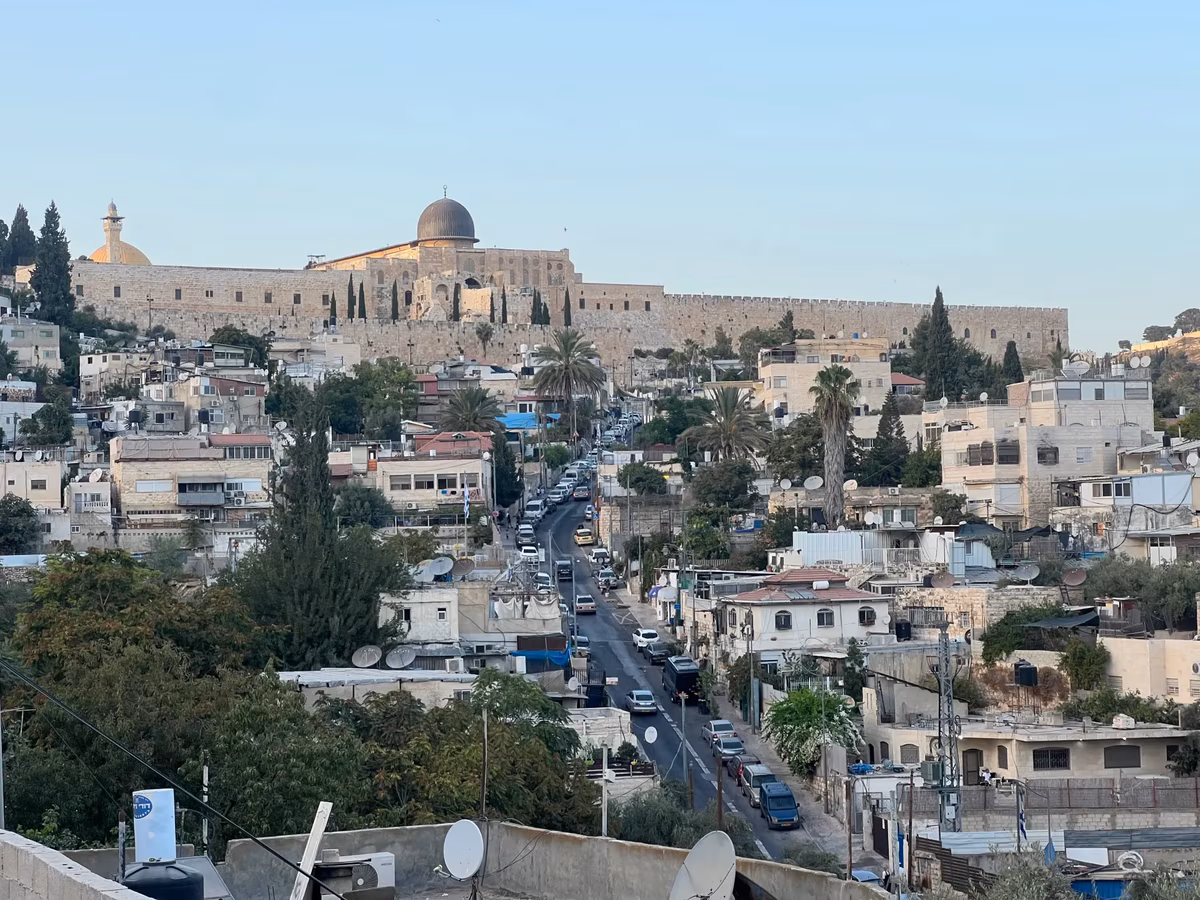


The Alternative Planning Center team monitored technical and field changes, which it described as alarming, on the official maps of the occupation municipality in occupied Jerusalem. The center explained that these changes show a deliberate reduction of the municipal boundaries of Silwan town, with the re-annexation of vital areas to what is called the 'City of David' settlement neighborhood.
This new classification aims to reduce the officially recognized Palestinian urban space in favor of tourism and archaeological projects led by settlement associations. This step leads to the inclusion of areas historically and socially linked to the Palestinian fabric within the direct control of the occupation under the guise of 'heritage'.
Local sources in Jerusalem Governorate confirmed that these measures are null and illegitimate, and primarily aim to restructure the spatial and political landscape of the holy city. The Governorate warned of the danger of linking Palestinian neighborhoods to a false heritage framework that serves the Zionist narrative in the areas surrounding the Old City.
For his part, Khalil Al-Tafakji, an expert in maps and settlement, explained that the latest change effectively divides Silwan town into two parts; one Arab and the other Jewish. He pointed out that the occupation municipality now considers the annexed parts of Wadi Hilweh neighborhood as part of the Jewish neighborhood whose boundaries are continuously being expanded.
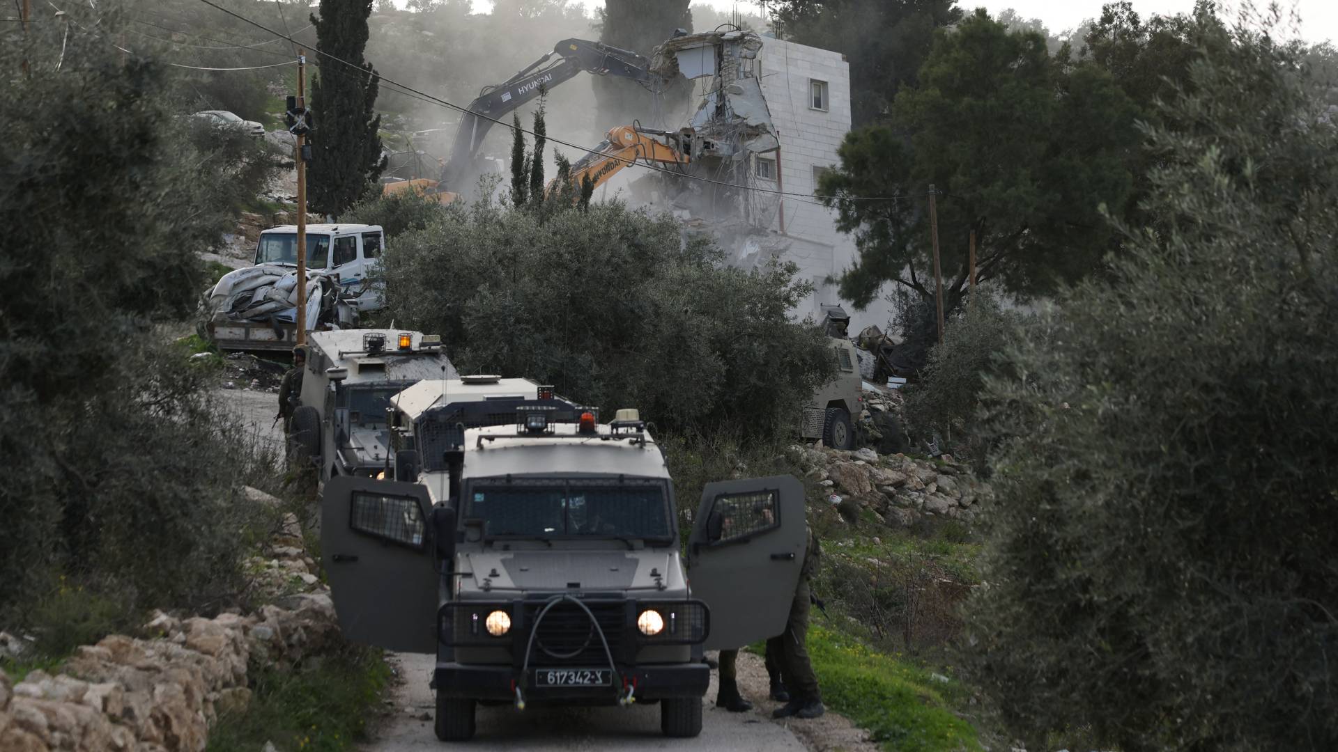
Through this demarcation, the occupation authorities seek to transform the Al-Bustan, Wadi Al-Rababa, and Wadi Hilweh neighborhoods into areas with a complete Jewish character. These annexed areas enjoy various privileges and services aimed at strengthening the settlement presence at the expense of the indigenous population who face the risk of displacement.
These moves are linked to major Judaization projects previously implemented, such as the suspended aerial bridge and the 'Kedem' settlement project, in addition to the 'Pilgrims' Path' tunnel. The 'King's Garden' plan also stands out as one of the most dangerous projects threatening to demolish Palestinian homes in Al-Bustan neighborhood to establish Talmudic facilities.
Jerusalemite experts estimate the area of the planned Jewish neighborhood in the heart of Silwan to be about two square kilometers, all of which fall within what is called the 'Holy Basin'. This plan aims to tighten control over East Jerusalem and link it to the western part of the city within a comprehensive Judaization vision that abolishes the Green Line.
Observers believe that this redrawing of borders this time stems from religious motives that serve expansionist political goals, as the occupation claims that parts of Silwan represent the historical 'City of King David'. These religious narratives are used as a legal cover for land confiscation and changing the demographic reality in the area adjacent to Al-Aqsa.
Fakhri Abu Diab, a member of the Committee for the Defense of Silwan Lands, affirmed that the town represents the first line of defense for Al-Aqsa Mosque from the southern and southeastern sides. He stressed that targeting Silwan is a direct targeting of the identity of Al-Aqsa Mosque, as the occupation seeks to change the demographic composition to facilitate an assault on the mosque.
Silwan town contains a treasure trove of historical artifacts dating back to the Canaanite, Islamic, and Umayyad periods, which are living testimonies to the Arab identity of the city. Among the most prominent of these landmarks are the Silwan Spring, dug by the Canaanites thousands of years ago, and the Umayyad palaces located adjacent to the southern wall of Al-Aqsa Mosque.
Historical data indicate that Silwan's lands historically extended to the Khan al-Ahmar area, but successive confiscations reduced its area to only about 5640 dunams. The occupation has so far succeeded in controlling about 22.5% of this remaining area through settlement projects and biblical gardens.
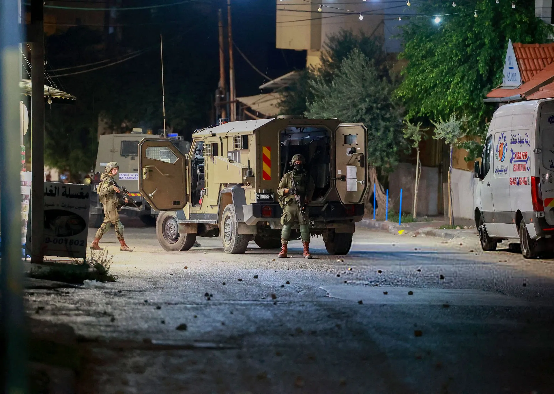
About 60,000 Jerusalemites live in Silwan's 12 neighborhoods, facing daily pressures from 3200 settlers who have been planted in settlement outposts within Palestinian properties. The town is considered one of the areas most exposed to demolition and forced displacement operations with the aim of turning the Arab residents into a minority in their region.
The new plan aims to transform 334 dunams of the town's land into a 'national park' that Palestinians are prevented from using or building on. This falls within efforts to impose the occupation's 'historical sovereignty' and transform the area into an open museum that promotes Talmudic myths and erases Arab and Islamic identity.
Concerns are growing about the establishment of facilities belonging to the alleged 'Third Temple' within Silwan neighborhoods, especially with the occupation promoting the existence of historical 'purification pools' in the area. What is happening in Silwan represents a microcosm of what the occupation authorities plan for all neighborhoods of occupied Jerusalem to impose a new reality that cannot be changed.
The Judaization of Al-Aqsa Mosque inevitably passes through the gateway of Judaizing Silwan town and completely changing its demographic and geographical composition.
شارك برأيك
New settlement plan to seize Silwan lands and isolate it from Al-Aqsa Mosque