


An in-depth analysis of satellite images revealed unprecedented geographical and urban changes affecting the camps of the northern West Bank, specifically Jenin, Tulkarm, and Nur Shams. Visual data showed the transformation of these densely populated communities into what resemble military barracks and isolated islands as a result of systematic demolition operations and forced road construction carried out by the occupation army.
The technical analysis was based on comparative temporal maps and UN data, which clarified the extent of the bulldozing and the complete destruction of vital infrastructure. Officials in the UNRWA agency described the current scene in these camps as 'ghost towns,' emphasizing that the policy aims to erase the urban identity of the camp and dismantle its social fabric.
In Jenin camp, which is the primary target, images taken between November 2024 and January 2026 showed massive destruction, with at least 237 buildings razed to the ground. Statistics confirm that Jenin Governorate recorded double the number of demolished structures and displaced persons compared to neighboring areas, reflecting the intensity of military operations there.
Mamdouh Assaf, the director of Jenin Municipality, confirmed that the occupation forces deliberately bulldozed almost all the camp's streets and forcibly displaced entire neighborhoods under the threat of arms. These operations were not random but were subject to an engineering vision aimed at constructing a network of military roads exceeding 4 kilometers in length, which split the camp into two completely separate sections.
Satellite images detected the establishment of earth berms and tight ground barriers at all main entrances and exits of Jenin camp. This measure clearly indicates the imposition of a strict security cordon and a permanent military control pattern, aimed at monitoring entry and exit movements and restricting the freedom of movement of Palestinians within their residential areas.
In Tulkarm camp, the analysis revealed the application of the same military approach through the complete destruction of 181 buildings and the transformation of the cohesive urban block into 'isolated islands.' A network of internal roads, 2.5 kilometers long, was created, whose paths matched the demolished buildings, to facilitate the movement of heavy military vehicles deep inside the camp.
Tulkarm camp is considered one of the oldest camps established by UNRWA in the West Bank since 1950, but recent operations aimed to dismantle this historical legacy. The new wide roads separated residential communities from each other, making internal movement for residents fraught with risks and under constant surveillance.
As for Nur Shams camp, destruction affected about 48% of the total buildings according to official estimates, with the complete destruction of 111 buildings documented. Engineering operations focused on the densely populated northern part, where the occupation constructed roads 2.2 kilometers long to ensure its vehicles could reach the most complex urban areas.
Deep bulldozing operations in Nur Shams resulted in the comprehensive destruction of water, electricity, and sewage networks, making daily life almost impossible for the remaining residents. This policy aims to secure 'freedom of maneuver' for the army at the expense of the basic humanitarian needs of Palestinian refugees in the camp.
Field data indicates that the occupation adopted a consistent engineering pattern based on erasing traditional geographical features and replacing narrow alleys with wide streets. This forced change aims to break the resistance within the camps by exposing them militarily and facilitating continuous incursions and arrests.
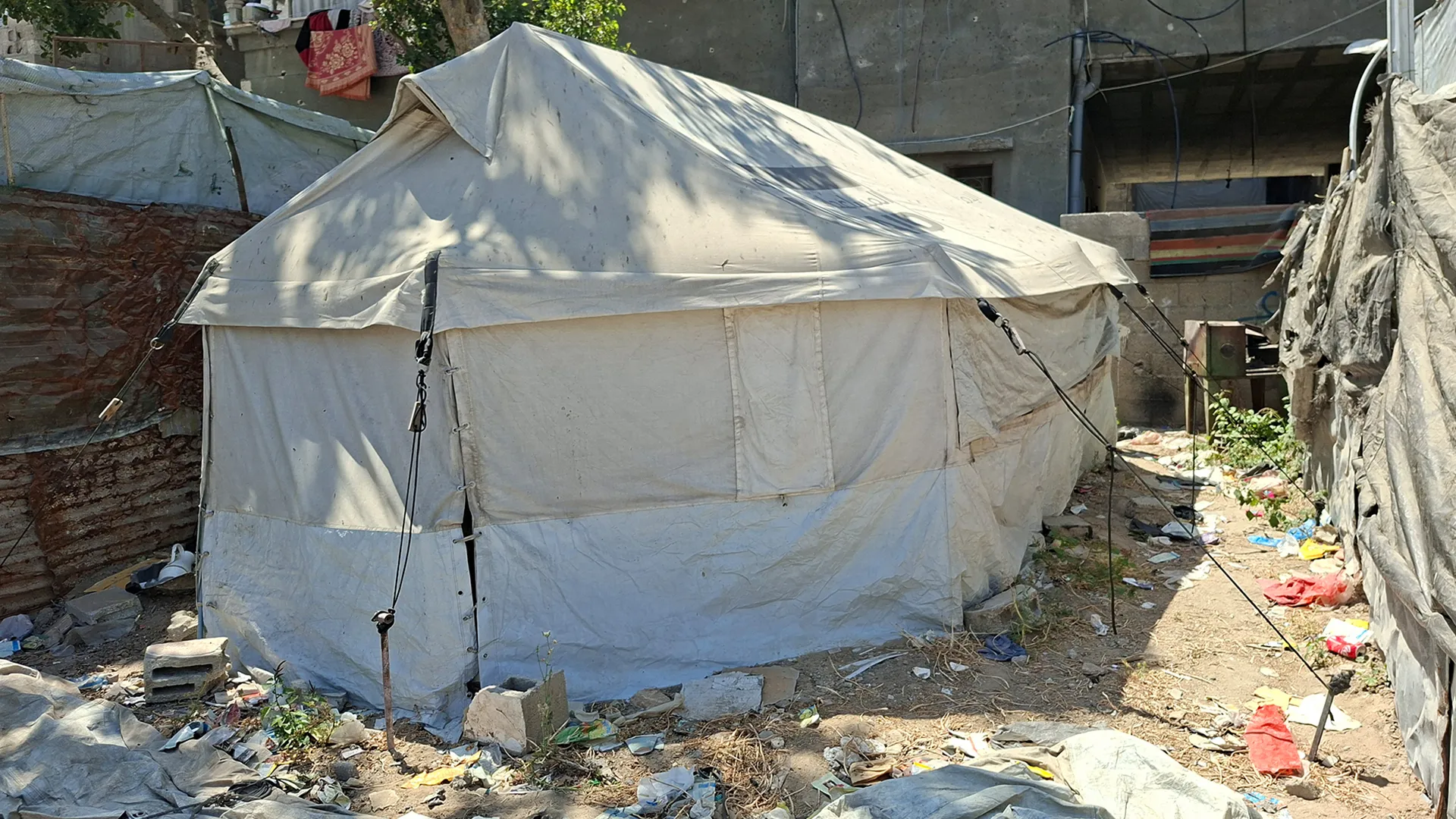
On the human level, human rights reports documented the martyrdom of 84 Palestinians in Jenin and 17 in Tulkarm since the beginning of 2025, in addition to the arrest of about 2,300 citizens. This was accompanied by the conversion of hundreds of private homes into observation points and military barracks, forcing thousands of families into forced displacement with no prospect of return.
The analysis concluded that what the northern West Bank camps are witnessing is a comprehensive re-engineering of the geographical and demographic reality to serve the security objectives of the occupation. The transformation of the camps into divided security squares represents a blatant violation of international laws and places the international community before its responsibilities to protect civilians and UNRWA facilities.
What is happening is a systematic and relentless process of destruction that has turned the camps into ghost towns.


Share your opinion
By numbers and maps.. How did the occupation re-engineer the camps of the northern West Bank militarily?