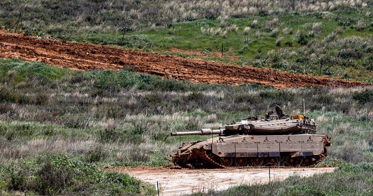


The Lebanese-Israeli front is witnessing rapid field transformations indicating the occupation's endeavor to impose a different security reality in southern Lebanon. This strategy relies on shifting confrontation lines from the direct border edge to deep within Lebanese territory, in an attempt to redefine the rules of engagement that have been stable for many years.
Field data indicates that current military movements aim to establish a security belt that goes beyond temporary operations, as the occupation plans for an initial depth of up to eight kilometers. This project is characterized by its gradual expandability to reach the banks of the Litani River, granting the Israeli army extensive security and military control.
The new Israeli vision is based on three layers of field control, starting with a buffer border strip representing the first line of defense. The second layer extends to include the area south of the Litani as a permanent operational theater aimed at disarming Hezbollah, leading to a third layer that exerts military and political pressure on the entire Lebanese state.
Regarding ground movements, sources reported that occupation forces are currently working to encircle the strategic city of Bint Jbeil from three main directions. This military cordon includes the areas of Maroun al-Ras to the east, Ainata to the north, in addition to the towns of Ayta ash-Shab and Debel from the western side.
In parallel with the siege of Bint Jbeil, Israeli vehicles are advancing from the axis of the town of Khiam towards the Litani River via the rugged Wadi al-Hujeir route. These movements reflect a desire to establish military strongholds that ensure the occupation freedom of movement and the ability to carry out swift strikes deep within Lebanese territory when necessary.
This scene recalls the memory of previous invasions, starting from reaching Beirut in 1982, through the era of the border strip that lasted until 2000. Historically, these policies led to the evacuation and displacement of approximately 160 Lebanese towns and villages from their original inhabitants due to continuous shelling and military operations.
The proposed buffer zone today does not represent merely a geographical strip devoid of armed manifestations, but rather a multi-level integrated security system. Through it, the occupation seeks to transform southern Litani into an open operational area, ensuring permanent field superiority away from the constraints of previous international understandings.
The current Israeli project is not limited to geographical depth but also includes seizing complete military freedom of action south of the Litani River and transforming the area into an open operational space.


Share your opinion
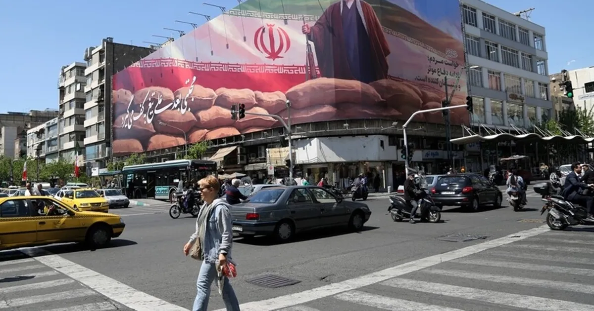
Redrawing the Security Map: An Israeli Plan to Impose a Buffer Zone in Southern Lebanon